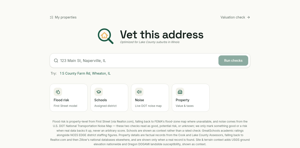
House hunting in Chicago’s Lake County suburbs meant checking flood maps, school ratings, traffic noise, and assessor records across half a dozen disconnected sites for every address on my list. Some of this is aggregated on sites like Redfin, but it stays too high level to act on and never gives enough context to actually judge a specific address. I designed the product as I would a finance model: define the inputs that actually matter, decide what "good" and "risk" mean for each one, and never assert a number the underlying source doesn’t support.
I worked with a GenAI coding agent to turn that spec into a shipped tool, sourcing and wiring up First Street, FEMA, GreatSchools, NCES, the DOT noise map, and county assessor data, then iterating on the read: a check only shows good, risk, or unknown, and only when real data backs it up.
Flood risk
First Street property-level model, falling back to FEMA flood zones
Schools
Assigned district via GreatSchools ratings and NCES staffing data
Noise
Live exposure from the U.S. DOT National Transportation Noise Map
Property
County assessor records, falling back to Realtor.com and Zillow